




SPECIALIZED SOLUTION
Specialized Solution
Global Satellite Remote Sensing Data Service and Emergency Response Solution
Gathering data from hundreds of satellites, covering the globe, providing users with vast historical remote sensing image data spanning decades and comprehensive resolution. Meanwhile, relying on the global ground station network of Emposat, for emergency response tasks, it can achieve minute-level satellite resource scheduling and multi-satellite collaborative observation, and complete the entire chain of services from "command injection-satellite shooting-data processing-result delivery" in the fastest possible time of 30 minutes
Features and Advantages
 Fast Response and Efficient Imaging
 Multi-satellite Coordination and Dynamic Networking
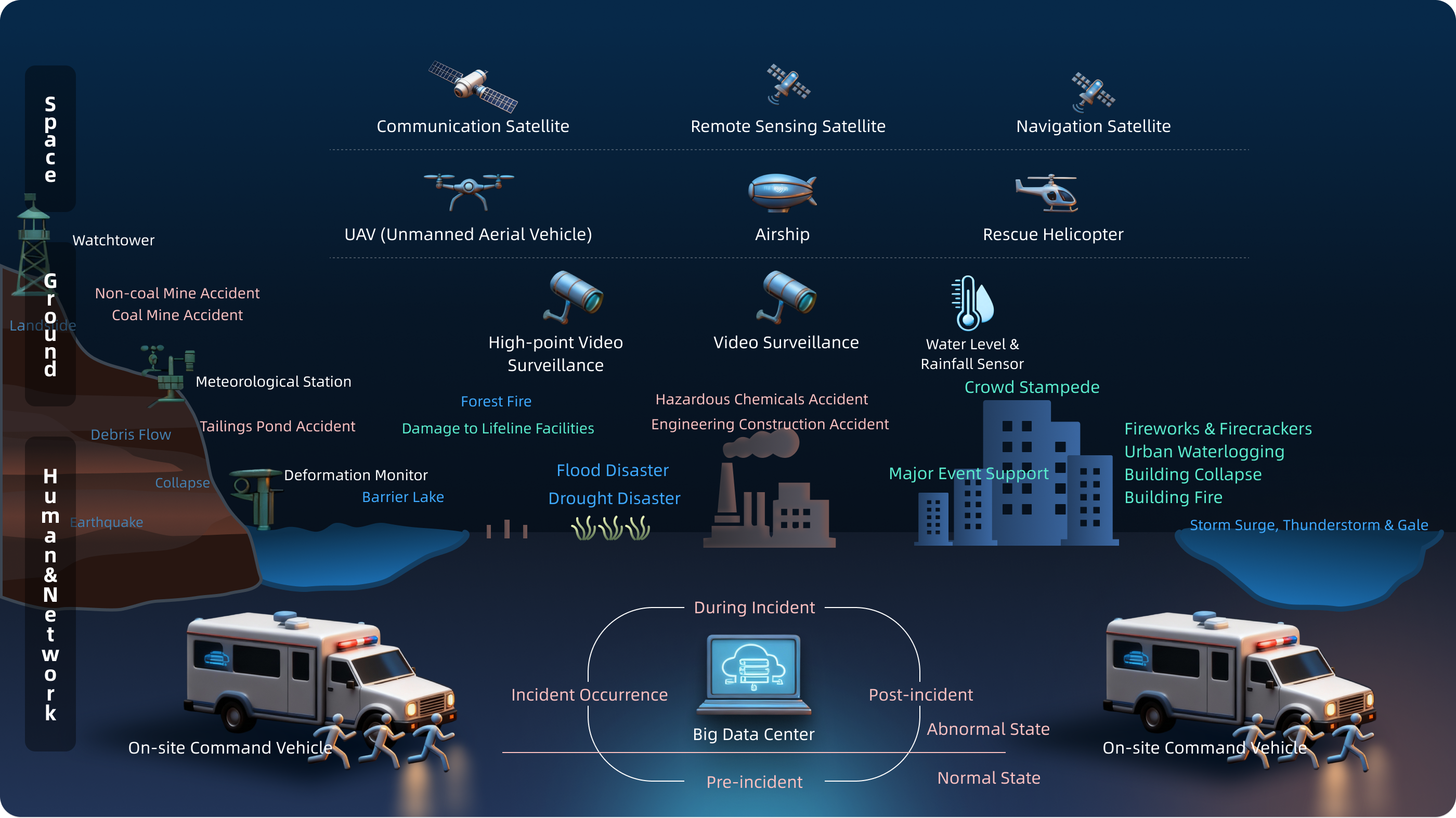
 Sky-Ground-Air-Human Network Precise Support
 Multi-scenario adaptive application
Solution Architecture
Scenario Application
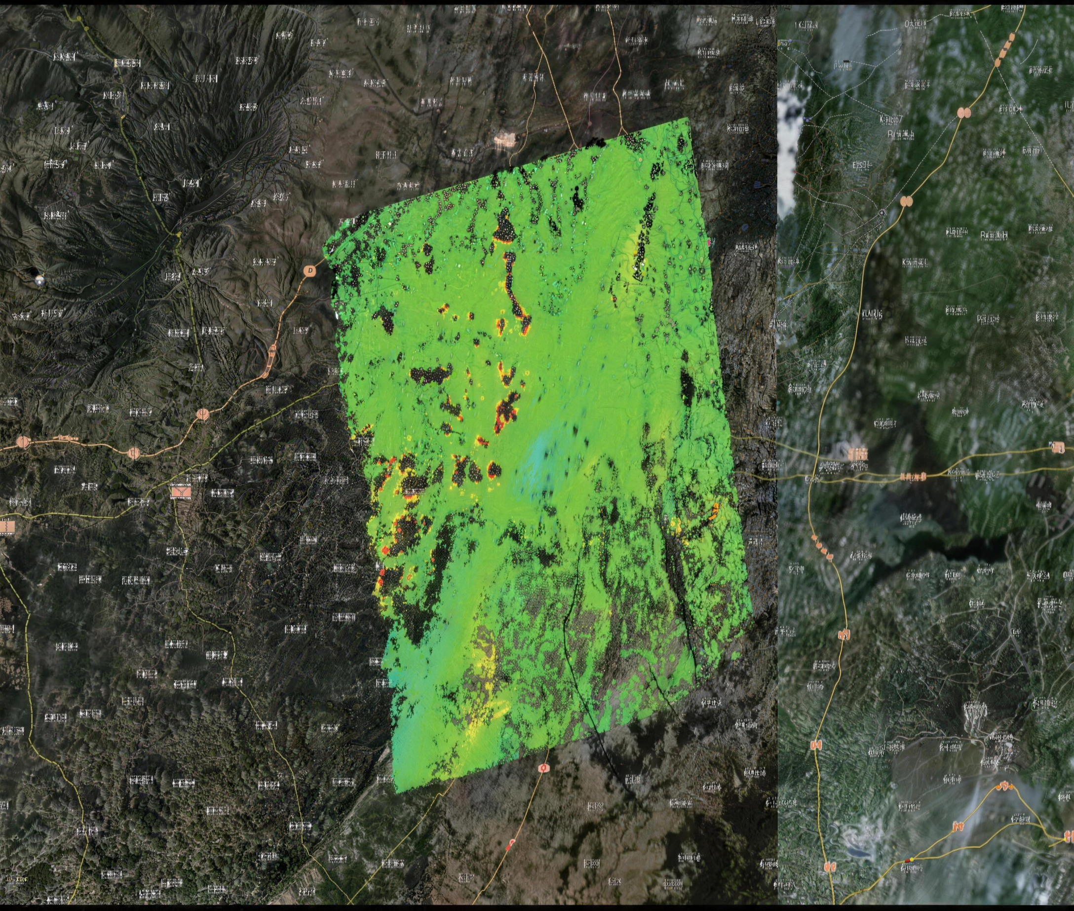
Fire Point Monitoring
Multi-source satellite collaborative networking, with 5-minute observation / 10-minute low-latency fire point monitoring, enabling rapid identification of fire situations, and providing near-real-time, highly reliable remote sensing data support for emergency command.
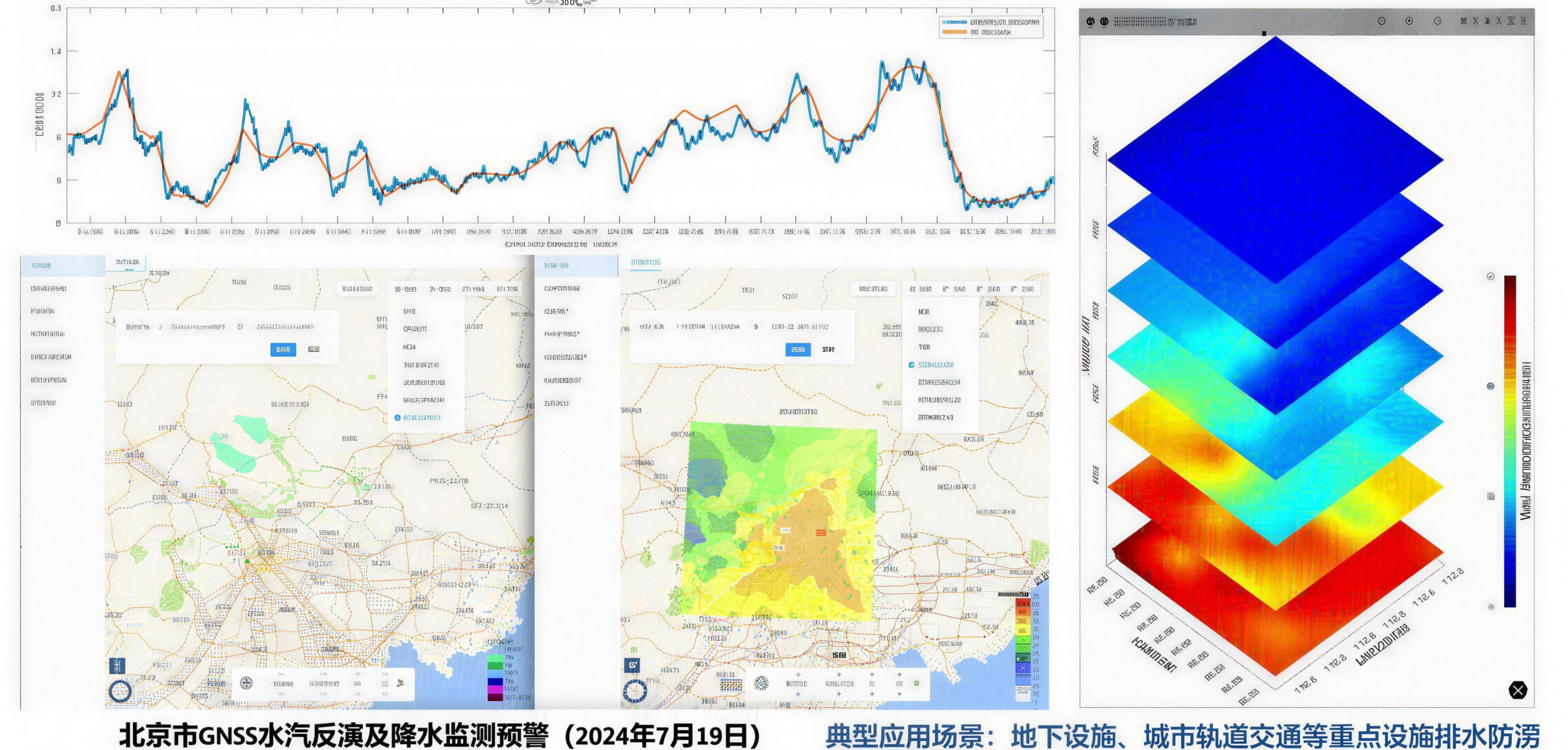
Flood prevention monitoring
Satellite scheduling + weather forecasting, pre-disaster warning, in-disaster response, retrieval of high-resolution images of high-risk areas, dynamic monitoring of flood discharge, water storage capacity, urban flooding and embankment hazards
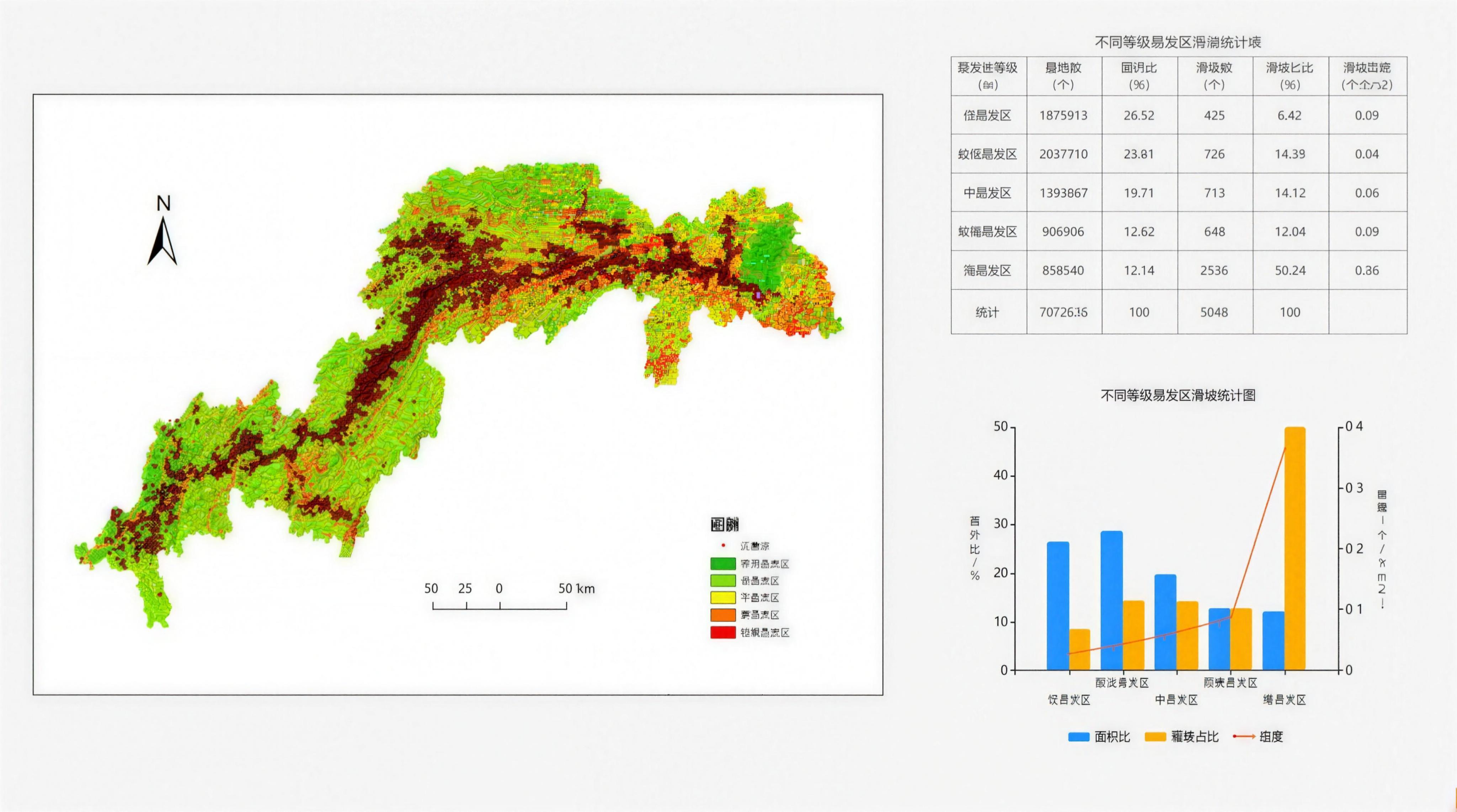
Geological disaster
Activate the emergency response, mobilize hundreds of satellites worldwide, intelligently plan the trajectory and issue shooting instructions. Within 30 minutes after the disaster, obtain 0.5-meter high-resolution images, providing high-impact and high-precision spatial information support for disaster assessment and rescue deployment.